Real Maps
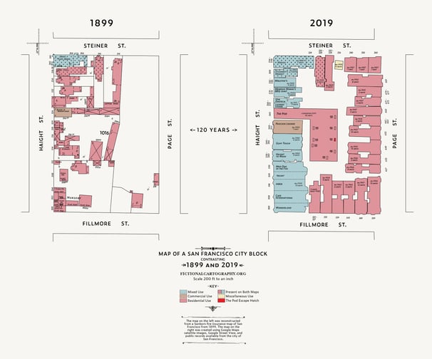
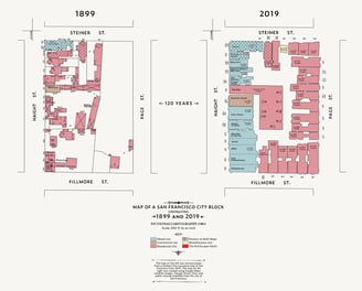
A City Block: Then and Now
This map details a San Francisco block in 1899 and 2019. The 1899 version of the map is heavily inspired by a Sanborn Map of my block which I located in the Library of Congress database. The 2019 version was reconstructed from open-source mapping data and lots Google Maps satellite images zoomed way in.
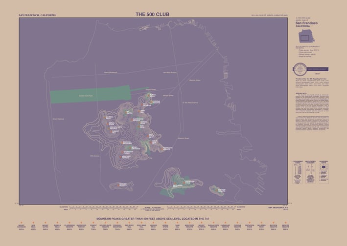
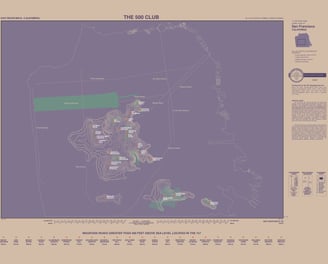
The 500 Club: Mountain Peaks Greater Than 499 Feet Above Sea Level Located in the 7x7
This map details the 23 tallest peaks in San Francisco. The map's inspiration is taken from a 1979 nautical map of Bar Harbor, Maine. The 500 Club is also the name of an old school dive bar in San Francisco, which was definitely not a paid sponsor of this map.
5 Runs in Further Places
For what seemed like years during the dark days of the pandemic when I was barely leaving my house, a map of Australia hung above our dining room table. I told anyone who would listen that “When this fu%&ing pandemic is over, I'm traveling to the furthest place I can go.” Specifically Perth, in Western Australia. Four years later, we made it!
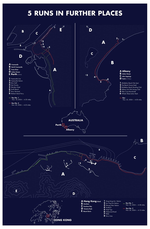
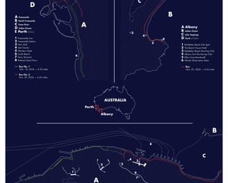
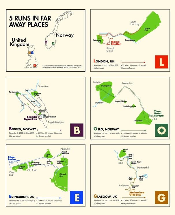
5 Runs in Far Away Places
We finally made it out of the country for the first time in 2.5 years, and man was it fun to take some early morning runs in new places! This map is not fictional, but instead uses real data collected by my Nike Run app, then visualized using QGIS and Adobe Illustrator.
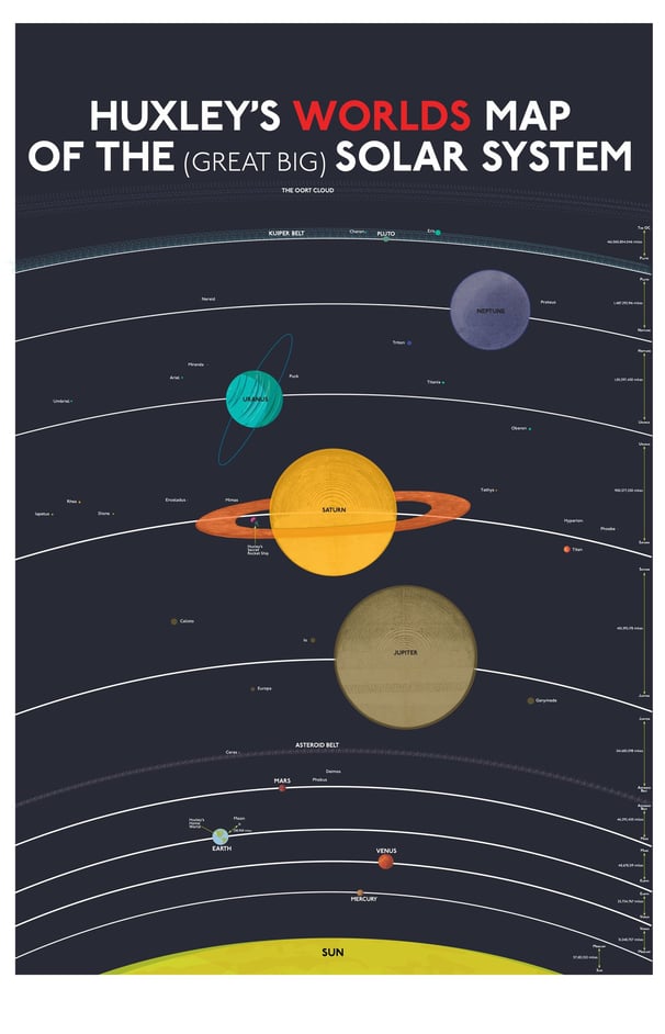
Huxley's Worlds Map of the Great Big Solar System
Reversing direction for our fourth map in the series, we decided to go big. WAY BIGGER. It turned out that visualizing the planets was easy. Figuring out how to show the various moons at a scale and distance that was even remotely accurate (they probably aren’t) was the fun challenge.
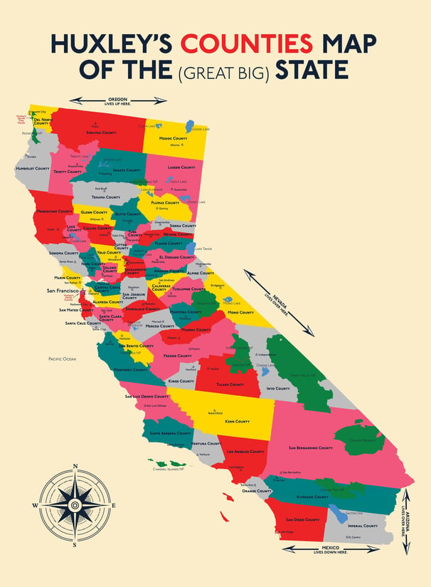
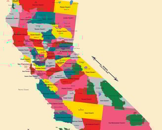
Huxley's Counties Map of the Great Big State
Three maps is officially a franchise, right? California is a big state and it’s full of counties with names that most people have never heard of. Unless you live there of course.
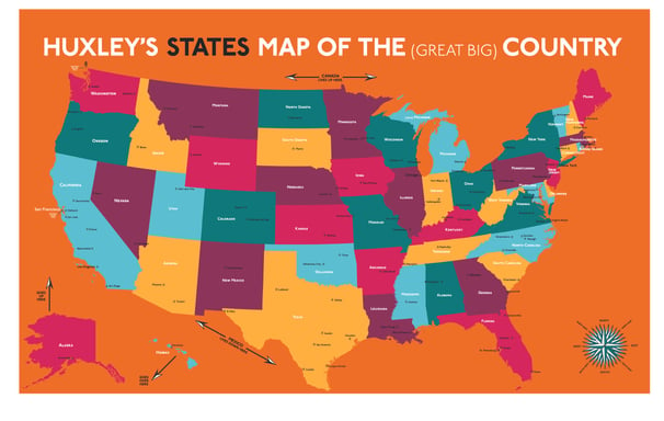
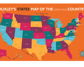
Huxley's States Map of the Great Big Country
Honing in on the types of questions asked by the average five year old regarding the silly country we live in, this map visualizes the 50 states in our Great Big Country, as well as the cities in the United States most likely to be the subject of question.
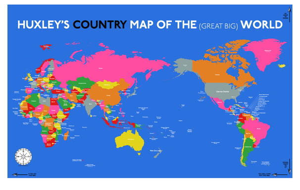
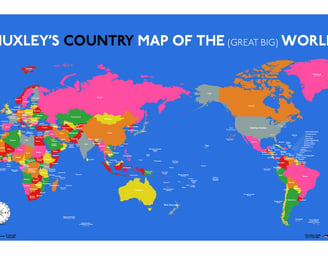
Huxley's Country Map of the Great Big World
Every kid needs a map of the world. But with the quantity of questions asked by the average 4 year-old, how much detail is too much detail? With this map for my son, I tried to simplify all the way down to just the names of countries. No continents. No oceans. And just a handful of additional “need to know” places.
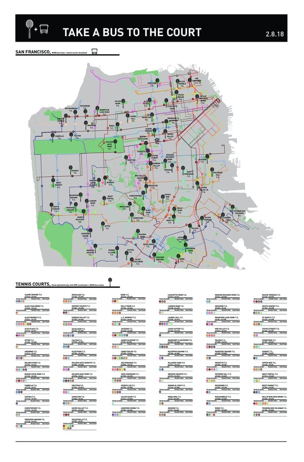
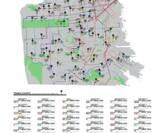
Take a Bus to the Court
Take the MUNI to the tennis courts. Read my IDEO article on the creative process. This map skews totally non-fictional. Trust me. And get out there and whack some yellow balls around.
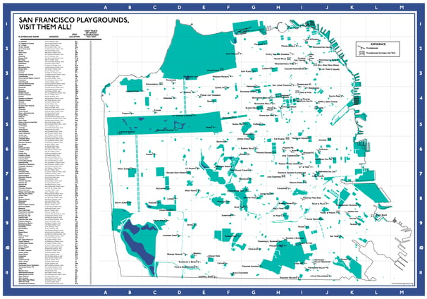
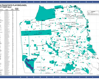
San Francisco Playground Map
This map visualizes all of the playgrounds of San Francisco. It’s not #fictionalcartography and is in fact quite useful. I was surprised to find that no decent map of the SF playgrounds seems to exist. So here it is.